The Search for Malaysia Airlines Flight MH370
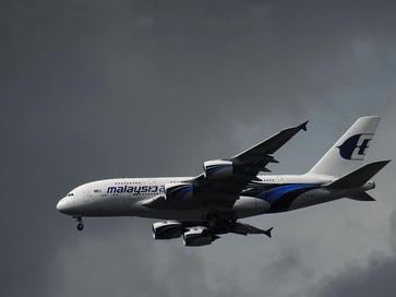
The mystery surrounding Malaysia Airlines Flight MH370 has continued to haunt searchers – an international contingent of experienced rescuers and scientists who have been persistently seeking answers on behalf of victim’s families, the airline itself and a concerned public. The cartography of the search is of particular interest – understanding the obstacles searchers come up against as they have searched for answers is key to understanding why the aircraft has not yet been found.
MH370’s disappearance is perhaps one of the biggest cartographic and scientific jigsaw puzzles of the 21st century. Let’s take a look at the timeline, and how cartography and science have come together since March 2014, when the plane disappeared between Beijing and Kuala Lumpur.
Request Brochure
Fill out the information below to learn more about the University of Southern California’s GIS Graduate Programs and download a free brochure. If you have any additional questions, please call 877-650-9054 to speak to an enrollment advisor.
The Search for MH370 – a Timeline
| March 8, 2014 |
Malaysia Airlines Flight MH370, en route to Beijing from Kuala Lumpur, disappeared with 239 passengers and crew aboard. |
| March 11, 2014 |
Chinese officials announce they’ll use military satellites, capable of capturing high-resolution images of the suspected crash area, to aid in search efforts. |
| March 20, 2014 |
U.S. military satellites return images of two unidentifiable objects in the Indian Ocean approximately 2,500 kilometers southwest of Perth, Australia. Preliminary analysis suggests the objects could be associated with MH370. |
| March 21, 2014 |
The U.S. Navy deploys its “sub-hunting equipment” with sonobuoys capable of listening for signals from an aircraft’s black boxes. It has Magnetic Anomaly Detection materials capable of locating metallic objects on the ocean bed. |
| March 24, 2014 |
A report detailing how satellites calculated MH370’s southern flight corridor by measuring the length of “pings” between the aircraft and the ground station sent to the satellites is released. The calculations accounted for MH370’s velocity in relation to the satellite and the related signal frequency change, known as the Doppler Effect. Referred to as “handshakes” in the report, a ground station sends pings to an aircraft when the station does not record any activity from the plane within an hour. With MH370, the ground station recorded only six “handshakes” from the time the plane took off until the time the aircraft’s communications system stopped transmitting messages. |
| April 16, 2014 |
An unmanned submarine descends more than 4,000 meters in the southern Indian Ocean, scanning for any signs of wreckage from MH370. The sub uses sonar cartographic mapping. |
| June 17, 2014 |
The Australian Transport Safety Bureau contracts surveying firm Fugro and a Chinese naval vessel to survey a 59,570 square kilometer search zone of the southern Indian Ocean. The team will map the ocean floor’s depth, geography, and physical make-up to ensure the most appropriate equipment deploys for the search’s next phase. |
About USC’s GIS Graduate Programs
The University of Southern California offers a comprehensive selection of GIS programs, including GIS master’s degrees and GIS graduate certificates. Click on the programs below to learn about our leading geographic information science education.
GIS Master’s Degrees
- Master of Science in Geographic Information Science and Technology
- Master of Science in Human Security and Geospatial Intelligence
- Master of Science in Spatial Data Science
- Master of Science in Spatial Economics and Data Analysis
- Master of Arts in Global Security Studies
GIS Graduate Certificates
Catalina Island Excursion

Students in the M.S. in GIST, M.S. in HSGI and Graduate Certificate in GIST programs will participate in a week-long fieldwork excursion...