


About the Session
Spend one hour with us, and we’ll give you a clear map of USC’s graduate GIS options and what it’s like to study at a premier private research university.
Meet faculty and an enrollment specialist, see how coursework connects to real tools and projects and compare options that include master’s degrees and stackable graduate certificates.
In this session:
- How USC SSI approaches geospatial study: interdisciplinary, future-focused, research-driven
- Program portfolio at a glance: master’s options and graduate certificates
- What learning looks like: technology-rich courses, Esri ArcGIS and custom software, written analysis, DEN@Dornsife support for remote and in-person learners
- Faculty access, advising culture, academic clusters and community
- Career landscapes across sectors, with examples of roles and employers
- Timelines, admissions basics and how to choose the right fit
Live Q&A included: This is your chance to get your questions answered by a program director and an enrollment specialist.
About the Presenters
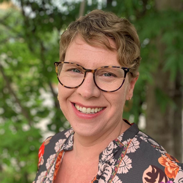
Katherine A. Lester
Assistant Professor (Teaching) of Spatial Sciences and Director of Master’s Programs
Katherine A. Lester, Ph.D., is a lecturer with the Spatial Sciences Institute in the Dornsife College of Letters, Arts and Sciences at the University of Southern California. Read More…
She is also the Director of the Spatial Sciences Institute’s Masters Program.

Rocco Sambucci
Enrollment Specialist, AllCampus, Graduate GIS Programs
Rocco Sambucci has a passion for higher education that has kept him in the field for over a decade. Read More…
He holds a Bachelor's from Florida Atlantic University and a Master's from Nova Southeastern University.